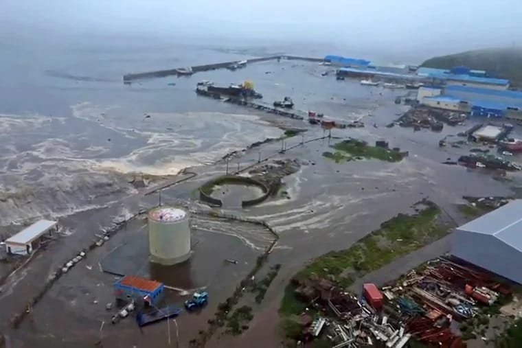
As the East Coast braces for another round of extreme summer weather, the National Weather Service has issued a flash flood warning stretching from New York City to Washington, DC. With forecasts predicting several inches of torrential rainfall, local authorities are urging residents to prepare for disrupted travel, potential power outages, and hazardous road conditions.
⚠️ What to Expect
Meteorologists report that the storm system moving through the Mid-Atlantic could drop 2 to 5 inches of rain within a short time frame. Urban areas are especially at risk, as saturated ground and outdated drainage systems heighten the flood threat.
“The combination of intense rain and already-soaked soils makes flash flooding likely in low-lying urban corridors,” said a National Weather Service spokesperson.
🏙️ Cities on High Alert
- New York City: Flood-prone subway entrances and basements are of particular concern.
- Philadelphia: Emergency services are on standby, anticipating road closures.
- Washington, DC: Local government has activated storm response plans.
Air and rail travel across these cities could also be affected, with flight delays and cancellations already being reported at major airports.
🧰 How to Stay Safe
- Avoid driving through flooded roads
- Keep emergency kits and chargers ready
- Monitor weather updates and evacuation alerts
- Protect valuables in lower-level homes or basements
🗣️ Officials Urge Caution
City officials from NYC to DC are stressing the importance of community preparedness, especially for vulnerable populations. “Please stay indoors and avoid unnecessary travel during peak rainfall,” warned New York’s Emergency Management Office.


